
Understand
Define the area, workflow, constraints and decision to support.
TECHNOLOGY & APPROACH
From your operating environment to a focused, testable use case.
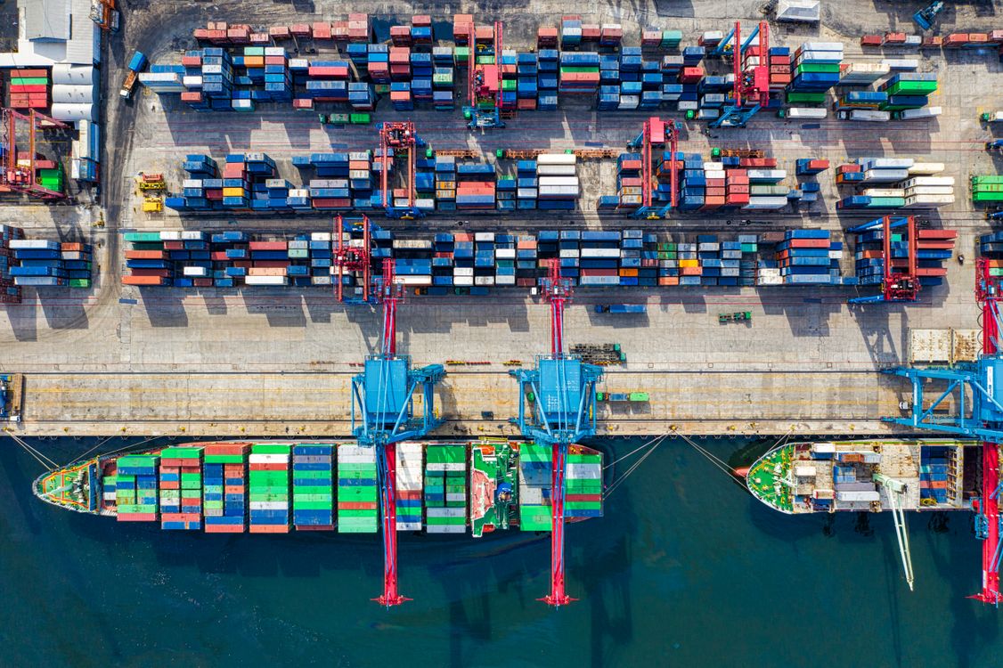
Port photography for illustration.
THE CONNECTION THAT COUNTS
What does your team need to know? What information is available? Which decision should improve?
We use those questions to define the model, data connections and development scope—together with the people who understand the operation.
HOW IT COMES TOGETHER
Define the area, workflow, constraints and decision to support.
Review available spatial, task, location and arrival data.
Build a shared view of the environment and its available information.
Review analysis with operators and refine the pilot scope.
| Data layer | Examples | What it supports |
|---|---|---|
| Spatial context | Maps, layouts and project-provided models | Understanding facilities and operating areas |
| Operational context | Tasks, resource status and position records | Visibility and planning support |
| Arrival context | Available vessel or vehicle arrival information | Coordination and arrival awareness |
| Analysis | Historical records and defined scenarios | Evaluation and decision support |
Data access, refresh intervals and interfaces are confirmed during project scoping.
A PRACTICAL START
Agree on the use case, available data, operating boundaries and evaluation criteria before broadening the deployment.
Discuss a pilotDefine the operating problem and responsible team.
Check available data, quality and access conditions.
Agree on functions, location and evaluation criteria.
Review the results and plan the next stage.
YOUR NEXT CHAPTER STARTS HERE
Tell us about your operation.
We’ll explore the right starting point together.